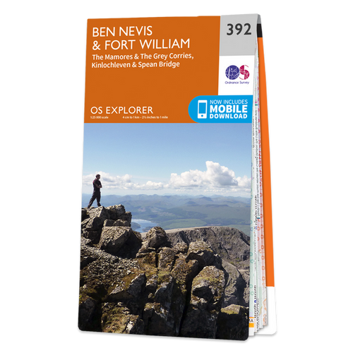
The Landranger map of Ben Nevis (including Fort William & Glen Coe) is a must-have for your next trip to the area.
The area is famous for its challenging walks paid off by spectacular views. Explore Glen Coe, full of dramatic scenery due to the glen's volcanic origins.
Some other major highlights are: Loch Treig, Glen Roy, Spean Bridge, and of course Ben Nevis.
Ben Nevis is the highest peak in Britain at 1,345m, taking on average 7-9 hours to reach its summit.
You can also ride the Nevis Mountain Range Gondola, the only of its kind in the Britain, reaching heights of 650m — allowing you to effortlessly enjoy the beautiful mountain range.
Publication Date: 01/03/2021

Free digital download
Receive a free download with purchase of this map. Find out more at Mobile Download FAQ.

Landranger 1:50 000 scale
Every 2cm is 1km, which means less detail but more area covered, while still including key elements such as footpaths, rights of way, and tourist information

Be ready for anything!
Whether it’s a long hike, a cycling tour, or a driving holiday – Landranger maps are the perfect companion

Topographic mapping
Highly detailed contour mapping highlighting variations in terrain and everything you would expect from a map

Not sure which map you need?
Discover which area this map covers with the map area overview below or read more about our different types of maps


